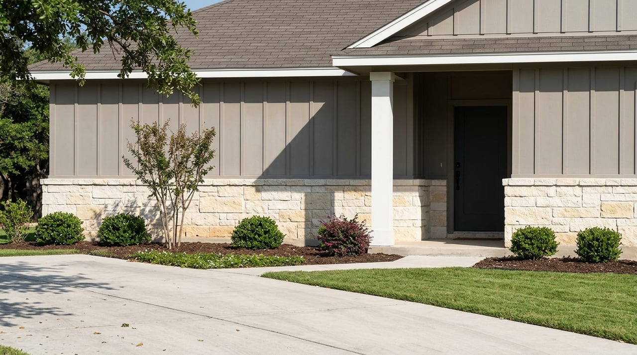
Selling land in Rosenberg can feel harder than selling a house, and for good reason. Buyers usually want answers about access, utilities, floodplain, and platting before they ever talk price. If you want a smoother sale, you need more than a sign in the ground. You need a clear, documented story about the property. Let’s dive in.
Why Rosenberg Land Sales Are Different
Rosenberg land sales do not follow the same playbook you might expect in a city with traditional zoning. According to the City of Rosenberg Development Assistance Center, the city does not have a zoning ordinance or zoning map, and development review often centers on plats, replats, subdivision amendments, and related approvals.
That means buyers are often less focused on a zoning label and more focused on what can actually be documented today. They want to know whether the tract is platted, whether it has legal access, what utilities may be available, and whether floodplain or easement issues could affect future use.
Start With the Property Location
One of the first things you should confirm is whether your land is inside Rosenberg city limits, in the city’s extraterritorial jurisdiction, or outside the city altogether. That distinction can affect addressing, development steps, utility questions, and which local authority a buyer may need to contact.
The city’s addressing guidance explains that Rosenberg is the addressing authority inside the incorporated city limits. Outside the city, address-related work may involve Fort Bend County Engineering or CenterPoint Energy, and official address plats are not produced until the city receives a recorded subdivision section plat.
For a buyer, this matters because a missing or unconfirmed address is usually not the real issue. The bigger issue is whether the tract has the recorded documents and development status needed to support the buyer’s plans.
Price Land by Facts, Not Guesswork
Acreage pricing in Fort Bend County is rarely as simple as choosing a price per acre and calling it done. The Fort Bend Central Appraisal District timeline notes that property is appraised at market value as of January 1 each year, with annual reappraisals, so tax value can be useful context but should not be treated as the same thing as current list price.
The county’s land appraisal manual makes it clear that value is influenced by factors like frontage, access, private roads, easements, topography, floodplain, wooded conditions, and utility issues. In other words, two tracts with the same acreage can have very different market value.
The 2025 FBCAD market report offers broad context, noting that county land value reached $39 billion, rural land sales increased 28% from 2023 to 2024, and rough reference points ranged from about $20,000 to $30,000 per acre in rural zones versus about $70,000 per acre in high-demand areas such as Rosenberg and Katy. Those numbers are helpful for context, but they are not a shortcut for tract-specific pricing.
Gather Documents Before You List
If you want buyers to move faster and negotiate with more confidence, prepare your paperwork before the property goes live. Land listings are often more document-driven than home listings, especially when the buyer is comparing multiple tracts.
A strong file usually includes:
- Recorded legal description
- Current survey or plat, if available
- Title information
- Access and easement details
- Utility information
- Floodplain details
- Agricultural valuation records, if applicable
The Fort Bend CAD website specifically notes that surveys, listings, and closing statements can be useful support documents. The county’s GIS portal also points users toward recorded information at the County Clerk’s Office when they need comprehensive property data.
Use Maps Carefully
Maps are helpful, but they are not the same as a survey. That point matters when you are marketing acreage, because buyers may rely heavily on visuals when deciding whether to schedule a visit or make an offer.
Rosenberg’s public water supply area map states that it is for informational purposes only and is not suitable for legal, engineering, or surveying purposes. Fort Bend County’s GIS tools are also best used as support, not as a replacement for recorded documents or a current survey.
A good listing uses maps to explain the property, while staying clear about what is verified and what still needs formal review.
Clarify Platting and Subdivision Issues
In Rosenberg, platting can be a major part of the sales conversation. The city’s Development Assistance Center explains that the development process starts there, and platting is often a key early step when needed.
If the land is outside the city in unincorporated Fort Bend County, subdivision rules can become especially important. The county requires final plat approval and recording before subdivided land can be sold or conveyed in certain situations, and a plat is required when a division creates two or more lots of five acres or less intended for residential use.
This is one reason buyers often ask detailed questions long before they make an offer. If you already know the tract’s platting status, you can reduce uncertainty and avoid last-minute surprises.
Know Your Utility Story
Utilities can have a major impact on value, marketability, and buyer confidence. In many land sales, this is one of the first subjects a serious buyer will investigate.
Fort Bend County states that it does not provide water or sewer services, and property owners should contact the city or the applicable MUD operator. Rosenberg’s water resources and service-area information can help show whether the property may relate to city systems, city-connected MUDs, or a different setup.
If your land will need septic, the Texas Commission on Environmental Quality says an OSSF permit is required to construct, install, alter, extend, or repair a septic system, and the site must first be evaluated by a licensed site evaluator or professional engineer. For private wells, Fort Bend County recommends annual water testing, with earlier testing after flooding, septic issues, or changes in water quality.
Check Floodplain and Access Early
Floodplain and access questions can shape both price and buyer demand. Even when buyers love the location, they often hesitate if these issues are unclear.
Fort Bend County’s permit guidance notes that permits may be required for work in floodplains, larger slabs or structures, grading or excavation, and driveway connections to county-maintained roads. The county also directs users to FEMA flood-risk tools through its floodplain resources.
Before listing, it helps to answer practical questions such as whether any part of the tract lies in a floodplain, whether the property has legal and physical access, and whether future driveway work might require permits.
Understand Agricultural Valuation
Agricultural valuation can affect both pricing conversations and buyer expectations. Some sellers assume it automatically applies to any rural-looking parcel, but that is not how it works.
According to FBCAD’s agricultural appraisal information, agricultural appraisal is a special use appraisal for land only, not a general exemption, and structures on ag-use land are still appraised at market value. FBCAD also notes that small tracts under 5 acres are generally not eligible unless they are part of a larger contiguous agricultural operation and supported by written verification or an affidavit.
If your land has agricultural valuation, be ready to explain the documentation clearly. If it does not, it is better to be upfront than to let buyers make assumptions that may not hold up later.
Market the Land With Visual Proof
A land listing in Rosenberg should do more than describe the property in a few sentences. Buyers usually respond best when they can quickly understand the tract’s shape, road exposure, surrounding context, and key constraints.
That is why strong land marketing often includes aerial imagery, drone photography, boundary visuals, and map overlays that help explain frontage, access, easements, utility proximity, and floodplain context. The site characteristics highlighted in FBCAD’s land manual line up closely with the same details that many buyers use to judge value.
Just as important, your listing should market what is documented, not what might be possible someday. In Rosenberg, where there is no zoning map, the strongest listing story usually focuses on verified facts like plat status, access, utility options, floodplain information, and any existing approvals.
Target the Right Buyer
Not every land buyer is looking for the same thing. A smaller tract may appeal to an adjacent owner, an owner-user, or someone looking for a homesite with extra room. A larger parcel may attract interest from a builder, ranch user, or investor.
Because land value depends so much on use, size, and physical characteristics, your marketing should speak to the most likely buyer without overstating future potential. The goal is to make the property easy to understand for the people most likely to act.
A Smarter Way to Sell Rosenberg Acreage
If you are selling land or acreage in Rosenberg, the best thing you can do is prepare early. Clear records, accurate pricing, and a fact-based marketing plan can help you attract more qualified buyers and avoid delays once questions start coming in.
If you want patient, local guidance on how to position your land for today’s Fort Bend County market, connect with Denise Moore. You will get thoughtful support, strong local insight, and a strategy built around the details that matter most to land buyers.
FAQs
What documents should you gather before selling land in Rosenberg?
- You should try to have the recorded legal description, current survey or plat, title information, access and easement details, utility information, floodplain details, and any agricultural valuation records ready before listing.
What makes Rosenberg land sales different from other Texas markets?
- Rosenberg does not have a zoning ordinance or zoning map, so buyers often focus more on platting, access, utilities, floodplain, and development status than on a traditional zoning label.
How should you price acreage in Rosenberg, Texas?
- You should price land based on tract-specific factors such as frontage, access, easements, topography, floodplain, and utility availability rather than using a simple flat price-per-acre formula.
What utility questions matter when selling acreage in Fort Bend County?
- Buyers usually want to know whether the property has city water and sewer, MUD service, or whether it may need septic and possibly a private well.
What should you know about agricultural valuation for Fort Bend County land?
- Agricultural valuation is a special use appraisal for land only, and small tracts under 5 acres are generally not eligible unless they are part of a larger contiguous agricultural operation with proper documentation.
Why do floodplain and access matter when selling Rosenberg land?
- Floodplain location and access conditions can affect buyer confidence, property use, permitting needs, and overall value, so they should be clarified as early as possible.